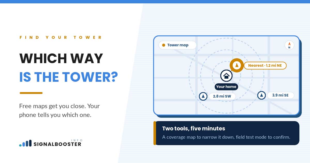
The fastest way to find your nearest cell tower is to combine three sources: your carrier’s own coverage map, the FCC’s public antenna-structure registration system, and a tower-locator app, then check whatever any of them tells you against a real signal reading taken from your own phone. Used alone, each source can mislead you. Coverage maps show modeled predictions, not measurements. The FCC’s registration system lists structures, not which carrier’s equipment sits on a given one or how strong that signal is once it reaches your address. Locator apps stitch together public records and crowd-sourced reports, then guess at the gaps. Combined, and confirmed with your own dBm reading (see how to check dBm signal strength), the picture gets close enough to actually act on.
Why “Nearest” Isn’t as Simple as It Sounds
“Nearest” sounds like a distance problem, but the tower closest to your home in miles is not always the one your phone is actually using, and it may not even be the one worth caring about. Multiple towers can serve the same address on different bands, owned or leased by different carriers, with different equipment mounted at different heights. Your phone connects to whichever combination of tower, band, and carrier equipment gives it the strongest usable signal at that moment, not necessarily the geographically closest structure.
This is also why distance and obstruction have to be considered together rather than separately. A tower half a mile away behind a hill or dense tree line can perform worse than one two miles away with a clear line of sight. Our guide to distance versus obstruction in cell signal covers that tradeoff in more depth; it is worth reading before you decide that a nearby tower automatically means a strong signal.
Carrier Coverage Maps: What They Actually Show You
A carrier’s coverage map is the first stop for most people, and it is a reasonable one, with a caveat worth keeping in mind. These maps are built from network engineering models: predicted signal strength based on tower placement, terrain data, and expected propagation, not a measurement taken at every individual address. Think of it as a forecast, not a photograph.
That makes coverage maps genuinely useful for a first read. They will usually tell you correctly whether you live in a strong-coverage area, a marginal one, or a likely dead zone at a regional level. Where they get less reliable is at the scale of a single house. The model does not know about your specific walls, your specific roofline, or the tree that grew in since the map’s last update. Two homes on the same street can sit in the same colored zone on a map and experience genuinely different signal, for reasons the map was never built to capture.
The FCC’s Public Tower Registration Data
The FCC maintains a public antenna-structure registration system, and it is worth knowing this exists as a second, independent source alongside carrier maps. In general terms, it is a registry of physical structures that antenna equipment is mounted on, searchable by location, rather than a coverage tool built for consumers.
That distinction matters for what it can and cannot tell you. The registration system can help you confirm that a structure exists near a given address. It generally will not tell you which carrier’s equipment is mounted on that structure, what band it broadcasts on, or how strong the resulting signal will be by the time it reaches your home. Structures are also often identified by owner or registration details rather than by carrier name, so you frequently still have to cross-reference against a coverage map or a locator app to make an educated guess about which carrier is actually using a given tower. Treat it as a way to confirm a structure’s existence, not as a coverage guarantee.
Tower-Locator Apps: What They Add (and Where They Fall Short)
Tower-locator apps sit between the two sources above. They typically plot tower locations on a map, and some will attempt to show which carrier reportedly uses a given structure, sometimes with an approximate bearing from your location. That is a genuine step up from a coverage map alone, because it points at an actual candidate structure rather than just a colored zone.
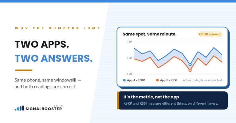
The tradeoff is reliability. These apps pull from a mix of public registration data and crowd-sourced reports, and both sources go stale. A tower can be decommissioned, re-equipped, or reassigned between carriers without every app’s database catching up at the same time. This is part of the same underlying issue behind a problem many readers already run into: two different apps giving two different signal readings for the same spot. If that sounds familiar, the explanation is largely the same one covered in why signal strength readings differ between apps: different data sources, different update schedules, and different methods for estimating a number that isn’t perfectly standardized to begin with.
Comparing the Lookup Methods
| Method | What It Actually Shows | Best For | Where It Falls Short |
|---|---|---|---|
| Carrier coverage map | Modeled, predicted signal strength across a region | A first, regional-level read on whether you’re in a strong, marginal, or weak area | Doesn’t account for your specific building, terrain, or recent changes; not measured at the address level |
| FCC public registration data | Registered physical structures, searchable by location | Confirming that a structure exists near an address | Doesn’t identify which carrier uses it, what band, or the resulting signal strength |
| Tower-locator app | Candidate tower locations, sometimes with a carrier guess and rough bearing | Narrowing down which structure is worth investigating further | Relies on crowd-sourced and public data that can be outdated or incomplete |
| Your own dBm reading | The actual signal your phone is receiving, right now, at your location | Confirming or ruling out any guess the other three methods produced | Only tells you about the one spot and moment you measured; not a location tool on its own |
Why the Map and Reality Often Disagree
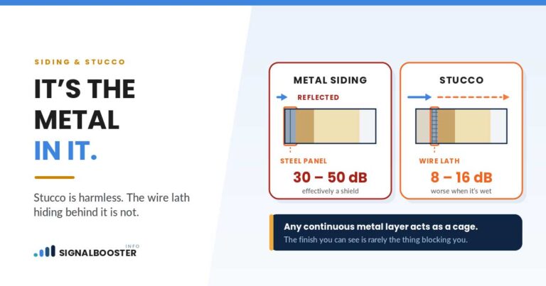
Once you understand what each method actually measures, the disagreements make more sense. A coverage map’s prediction assumes typical conditions; your house is not typical conditions. Building materials, elevation changes, and tree cover between you and a tower all reduce signal in ways a regional model averages out rather than accounts for individually.
Tower load is another factor no map shows at all. A tower can have excellent theoretical coverage of your address and still deliver a mediocre experience if too many devices are competing for its capacity at a given time, which is a congestion problem rather than a distance problem. And the band your phone happens to lock onto matters too: the same tower can behave differently depending on whether your connection is riding on a lower or higher frequency, which is part of why our comparison of 5G versus 4G signal strength is worth reading if your signal seemed to get worse after a network or device change, not better. None of this means the map is wrong to use. It means the map is a starting hypothesis, not a conclusion.
Sanity-Checking Any Tower Guess Against Your Own dBm Reading
Whatever candidate tower a map, the registration system, or a locator app points you toward, treat it as a hypothesis until you test it against a real reading. The method is straightforward. Take a dBm reading from a fixed spot in your home using the steps in how to check dBm signal strength. Then take readings at a few other points around your home, particularly any side facing the direction your candidate tower is supposed to be.
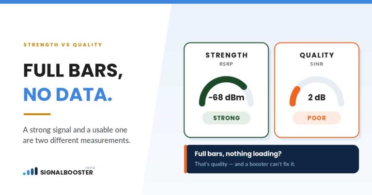
If the readings genuinely get stronger as you move toward that direction, that is real, if informal, evidence the guess is roughly correct. If the readings are flat or actually get weaker in that direction, the tool’s guess is probably wrong, outdated, or you’re picking up a different tower entirely. Either way, know what the number itself means before drawing conclusions. Our guide to what counts as a good dBm signal strength explains how to read the result once you have it, so a “confirmed” tower guess doesn’t lead you to overestimate how strong your actual signal is.
When Distance Alone Raises the Stakes (a Note for Rural Readers)
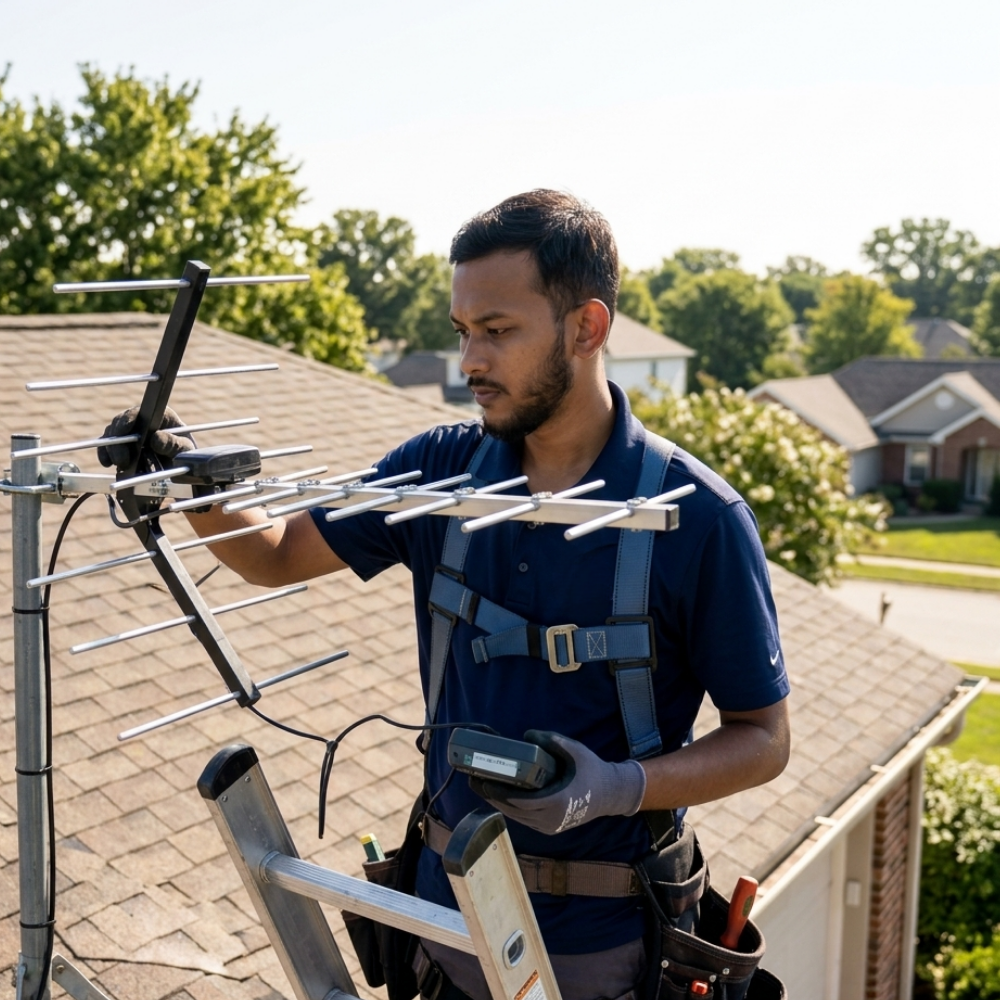
Everything above applies the same way whether you live in a dense suburb or several miles from the nearest town, but distance changes what a wrong guess costs you. In a suburb with several towers nearby, misidentifying the nearest one is a minor inconvenience; there’s usually another candidate close by. In a rural setting with genuinely few towers in range, picking the wrong one can mean the difference between a workable signal and none at all, especially once equipment gets involved that has to be pointed in a specific direction to do any good.
That next step, actually aiming a directional antenna at a distant tower once you have a shortlist of candidates, deciding between them, and confirming you picked correctly, is a more involved problem than finding candidates in the first place, and it deserves its own dedicated treatment rather than a few paragraphs tacked onto the end of this one. This article stops at finding and confirming a candidate tower; aiming at one is a separate job.
FAQ
What’s the easiest way to find the cell tower nearest my house?
Start with your carrier’s coverage map for a general read, then check a tower-locator app for a candidate structure and rough direction. Confirm or rule out that guess with your own dBm reading, since the map and the app are both predictions rather than measurements of your specific address.
Does the FCC list which carrier uses each cell tower?
Not directly. The FCC’s public antenna-structure registration system identifies registered physical structures, but it generally doesn’t specify which carrier’s equipment is mounted on a given structure or what band it uses. You typically need to cross-reference that against a coverage map or locator app to make an educated guess.
Why do two tower-locator apps show me different results?
They likely draw from different combinations of public registration data and crowd-sourced reports, updated on different schedules. This is the same underlying issue behind two apps showing different signal readings for the same location, covered in more detail in our guide to inconsistent app readings.
If I find the “nearest” tower, will my signal automatically improve?
No. Identifying a tower tells you where a signal is likely coming from, not how strong it will be at your address. Obstructions, distance, tower load, and the band your phone connects on all still apply. Confirm with a real dBm reading rather than assuming proximity equals strength.
Is finding my nearest tower useful if I’m not planning to buy anything?
Yes. Even without a purchase in mind, knowing roughly which direction your signal is coming from helps explain why certain rooms in your home are weaker than others, and it’s a useful first step before reading about what a signal booster actually does and whether one would help your situation.